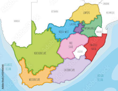
Vector illustrated map of South Africa with provinces and administrative divisions, and neighbouring countries. Editable and clearly labeled layers.
Palabras clave
south africa,
africa,
cape town,
johannesburg,
region,
state,
national,
country,
ocean,
sea,
illustrated,
typography,
map,
vector,
illustration,
political,
administrative,
division,
border,
editable,
info,
infographic,
white,
background,
graphic,
detailed,
geography,
cartography,
design,
colours,
colourful,
isolated,
physical,
information,
english,
labeled
Elementos relacionados